Log in
All resources
Create a design
52,119 Free Images of Old Celestial Maps
maps in the library of congress
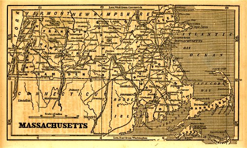
massachusetts
o. h. bailey
1879 maps of massachusetts
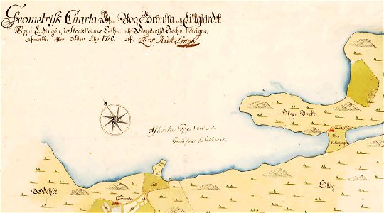
störmede
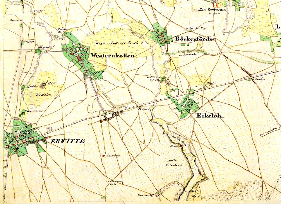
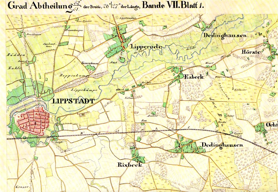
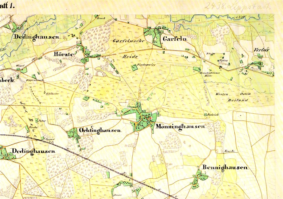
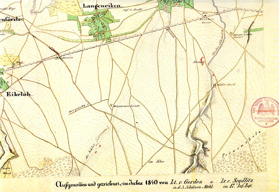
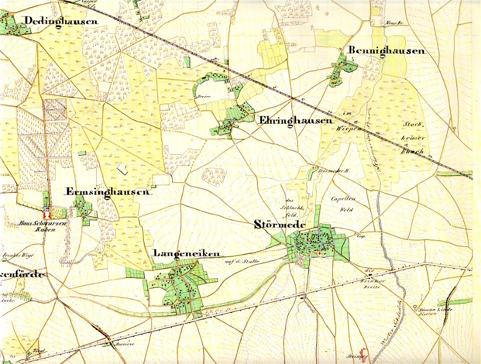
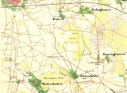
maps of lippstadt
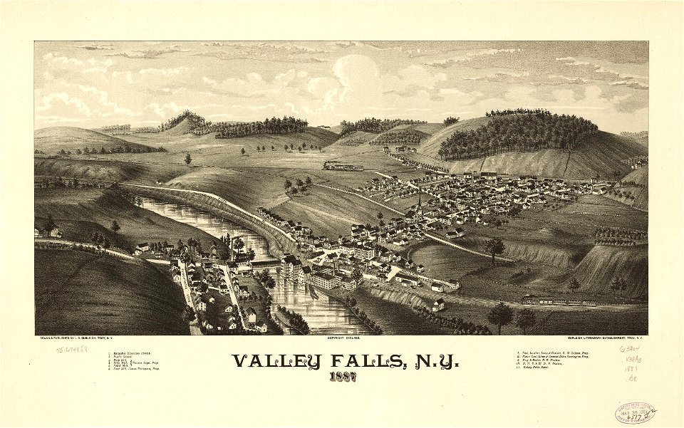
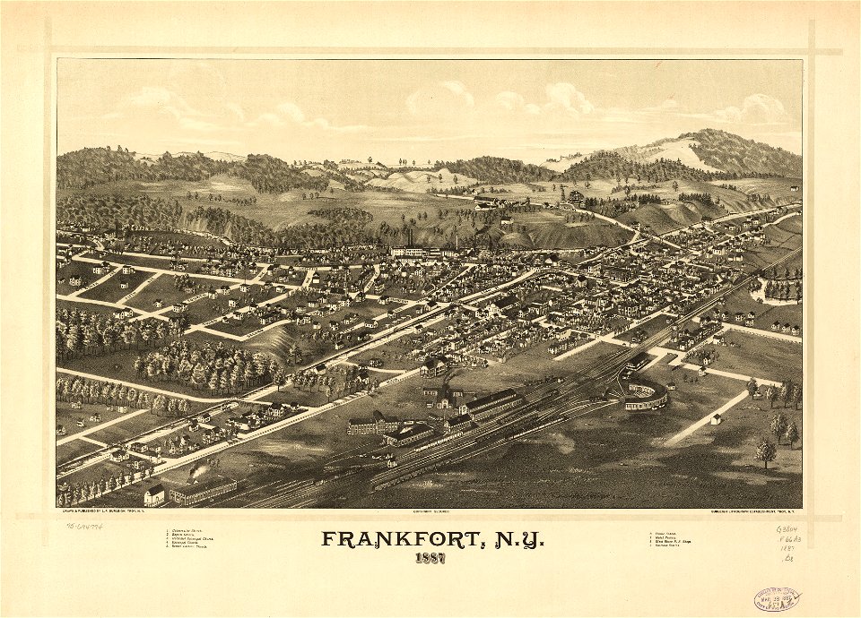
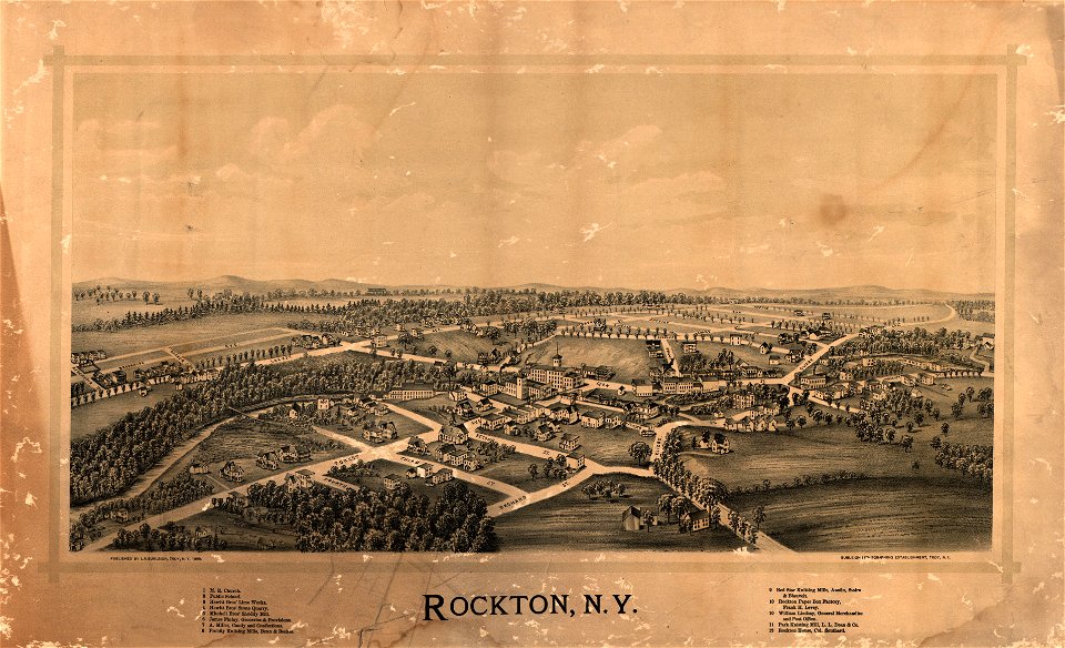
l. r. burleigh
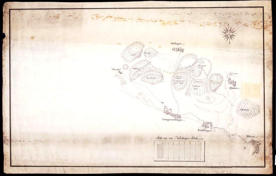
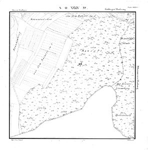
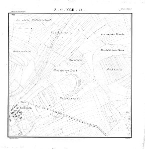
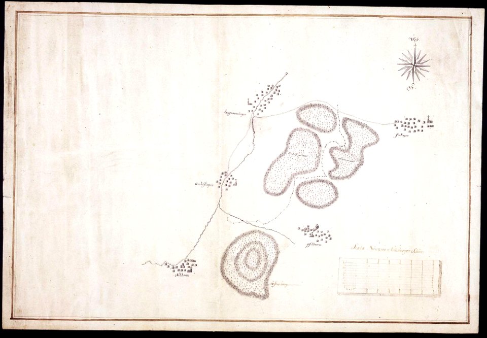
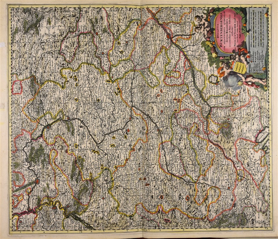
maps of württemberg
langenenslingen
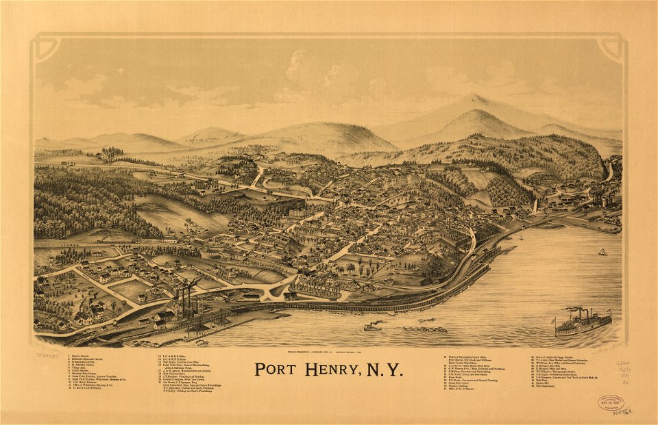
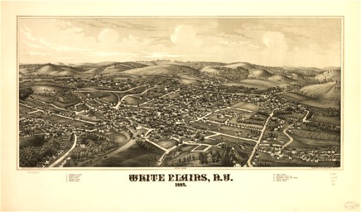
new york
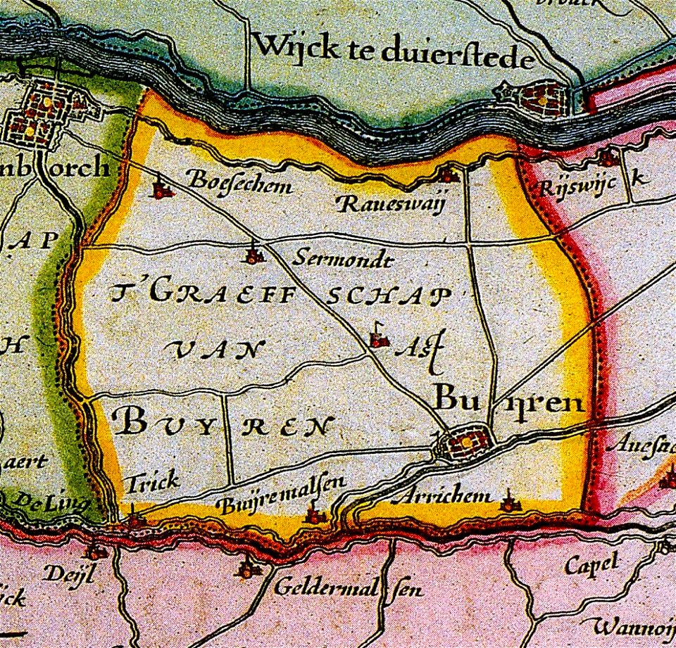
maps of buren
gelderland
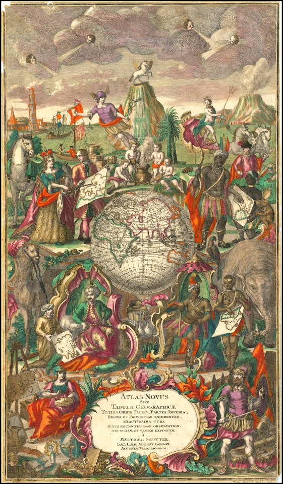
maps by matthäus seutter
maps of württemberg
langenenslingen
maps of württemberg
langenenslingen
matthäus merian
1636 maps
maps by sebastian münster
maps by abraham ortelius
maps by martin waldseemüller
1776 maps of boston
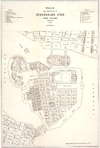
maps of gamla stan
maps of éfaté island
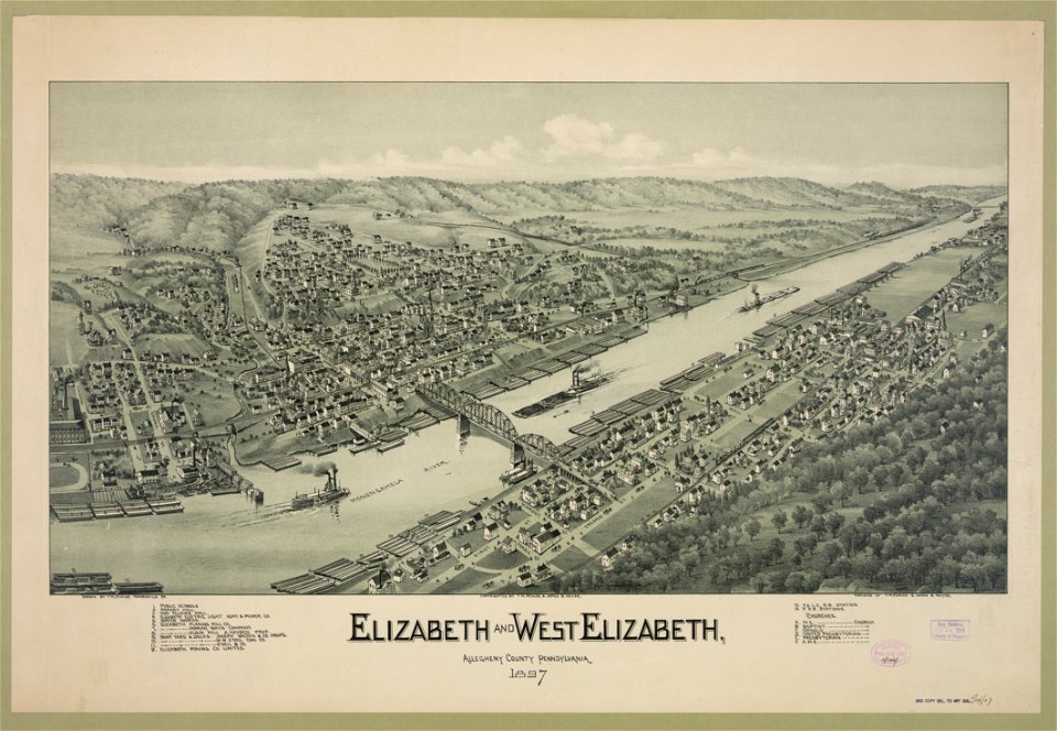
1897 maps of pennsylvania
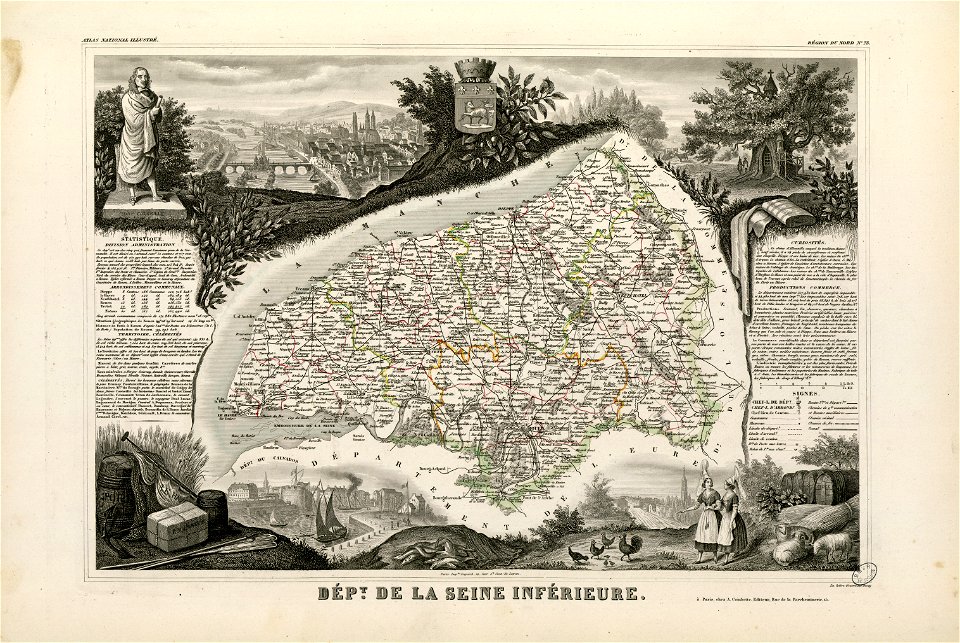
maps of loiret
giens
nikolskoe (berlin)
1832 maps
nikolskoe (berlin)
1848 maps
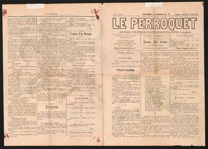
19th-century satirical maps
maps by antonio zatta
maps by antonio zatta
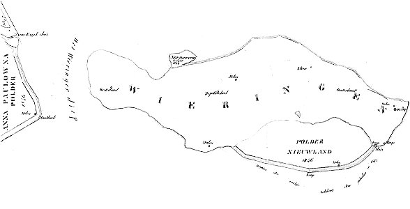
maps of wieringen
wieringen
maps of maui
maui
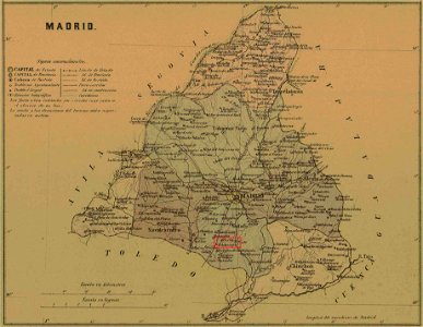
maps of parla
humanejos
1855 maps of massachusetts
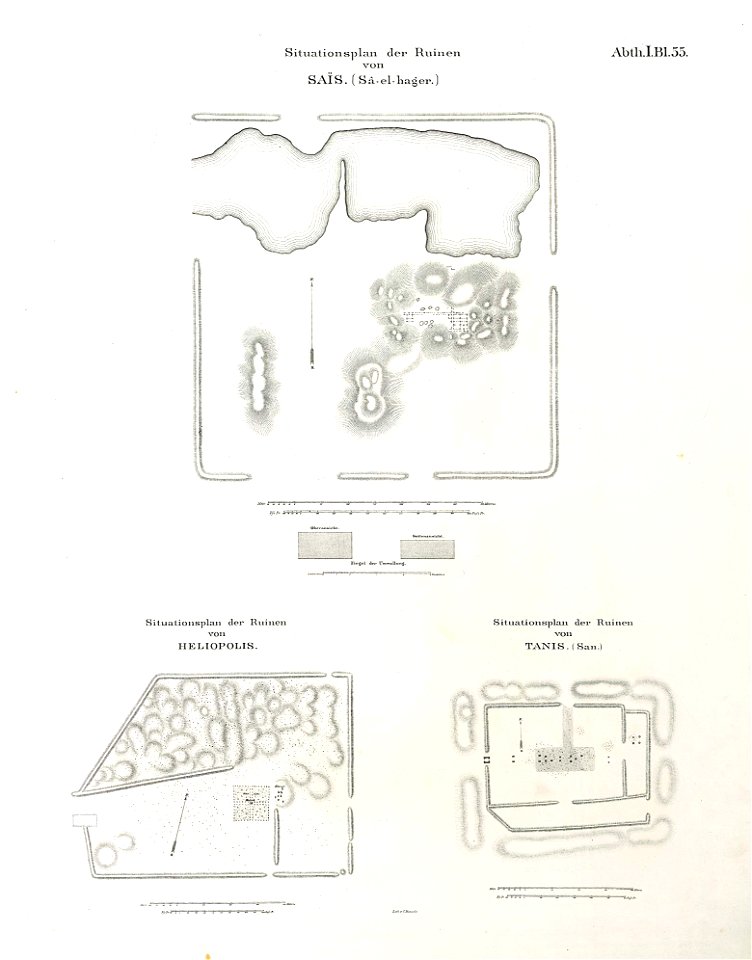
lepsius-projekt - maps
abydos
maps of mechelen
mechelen
maps by jodocus hondius
maps of lidingö
grönstaviken
maps of württemberg
langenenslingen
maps of württemberg
langenenslingen
maps of württemberg
langenenslingen
maps by sebastian münster
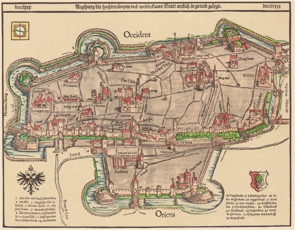
1550s maps of augsburg
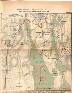
maps of lippstadt
störmede
maps of lippstadt
störmede
maps of lippstadt
störmede
maps of lippstadt
störmede
maps of lippstadt
störmede
maps of lippstadt
störmede
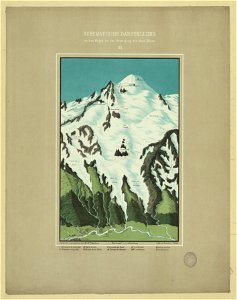
maps of mont blanc
maps of mont blanc
maps of marum
trimunt
maps of finnish war
19th-century satirical maps
maps by antonio millo
maps by antonio millo
maps by antonio millo
maps in the rijksmuseum amsterdam
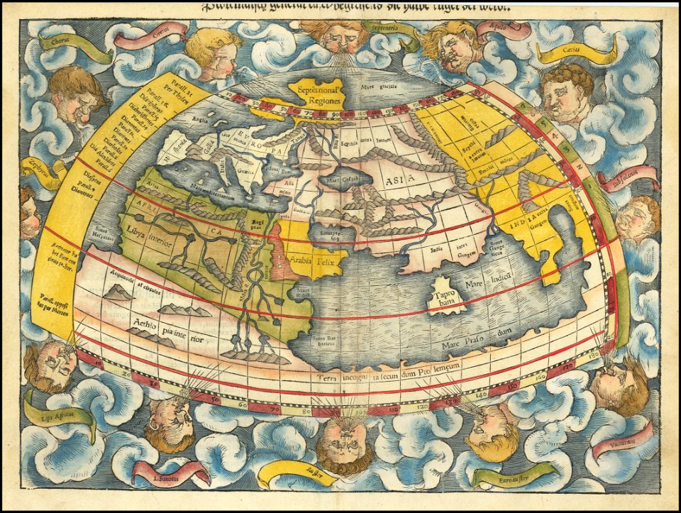
17th-century celestial maps
maps in the rijksmuseum amsterdam
17th-century celestial maps
maps in the library of congress
new york
maps with cartouches
atlas van der hagen
atlas van der hagen (volume 4)
maps with cartouches
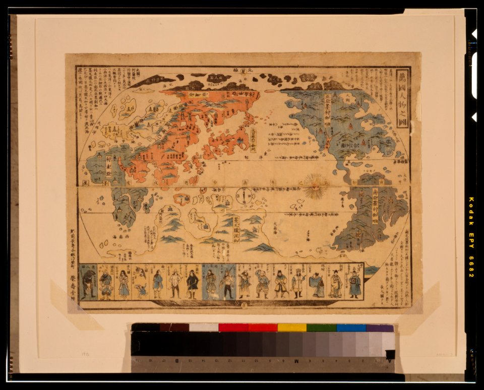
ukiyo-e by unknown artists
1800s maps of the world
ukiyo-e by unknown artists
1800s maps of the world
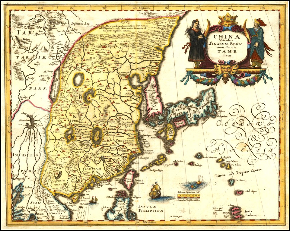
maps of the dutch east india company - korea
1745
18th-century maps of indonesia
1757
maps made in the 17th century
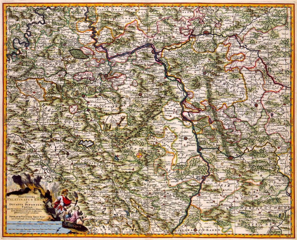
maps by nicolaes visscher i
fonds ancely - bibliothèque municipale de toulouse - maps
coats of arms of rouen
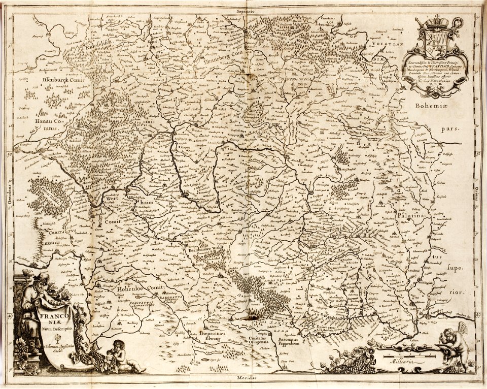
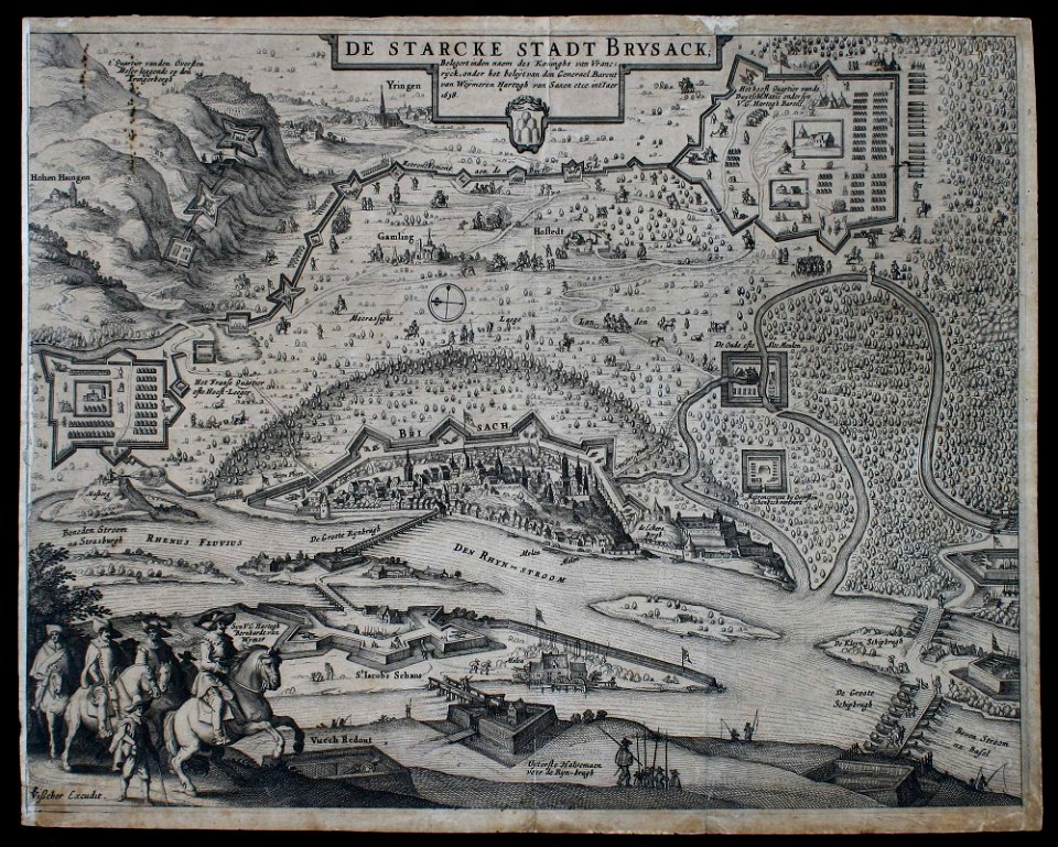
1642 maps of bavaria
franconia
maps in the library of congress
new york
maps in the library of congress
new york
birds in art of france
lions in art
prints from bonne atlas de toutes les parties at the peace palace library
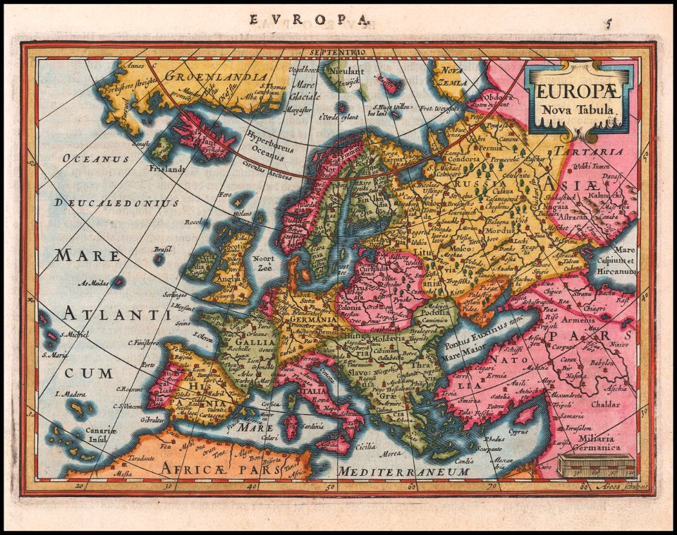
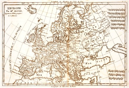
18th-century maps of europe
maps in the library of congress
new york
maps of gotland
pehr arvid säve
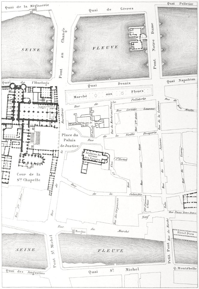
historical images of the pont saint-michel
morgue du marché-neuf
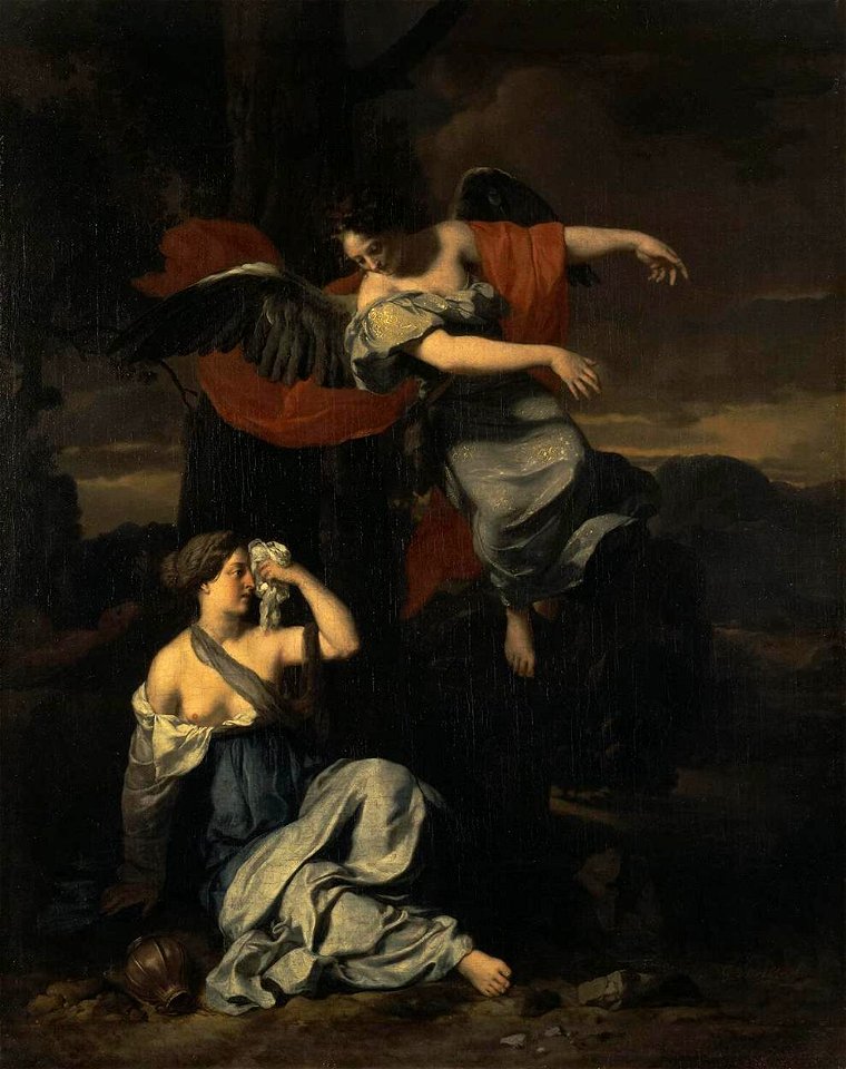
paintings of hagar and the angel
night in paintings
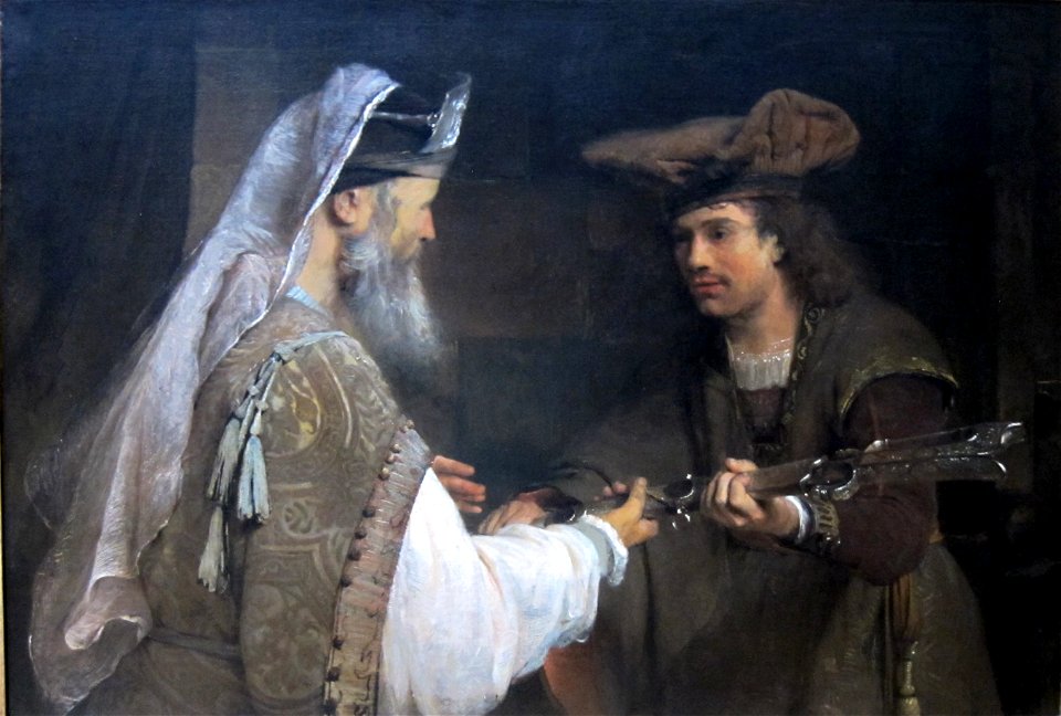
17th-century religious paintings in the united states
dutch paintings in the getty center
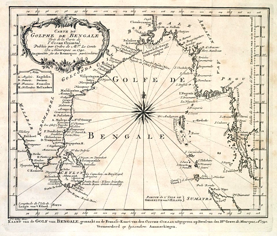
dutch bengal
1747)
maps in the library of congress
new york
ancient egypt
egypt
1590s maps of the world
frans hogenberg
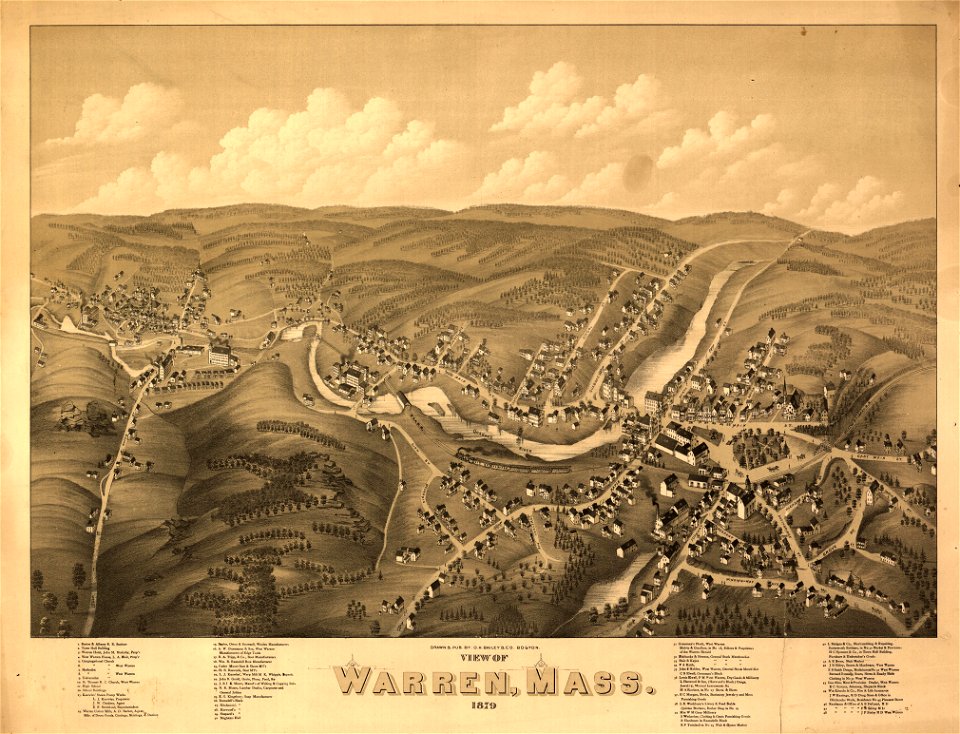
massachusetts
warren
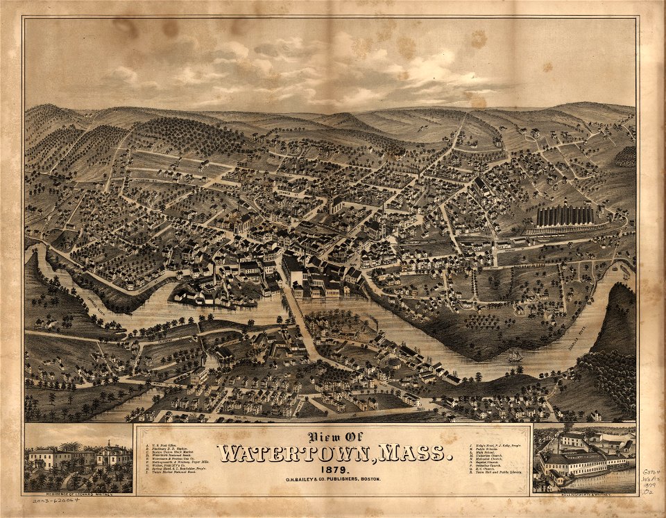
massachusetts
watertown
massachusetts
warren
massachusetts
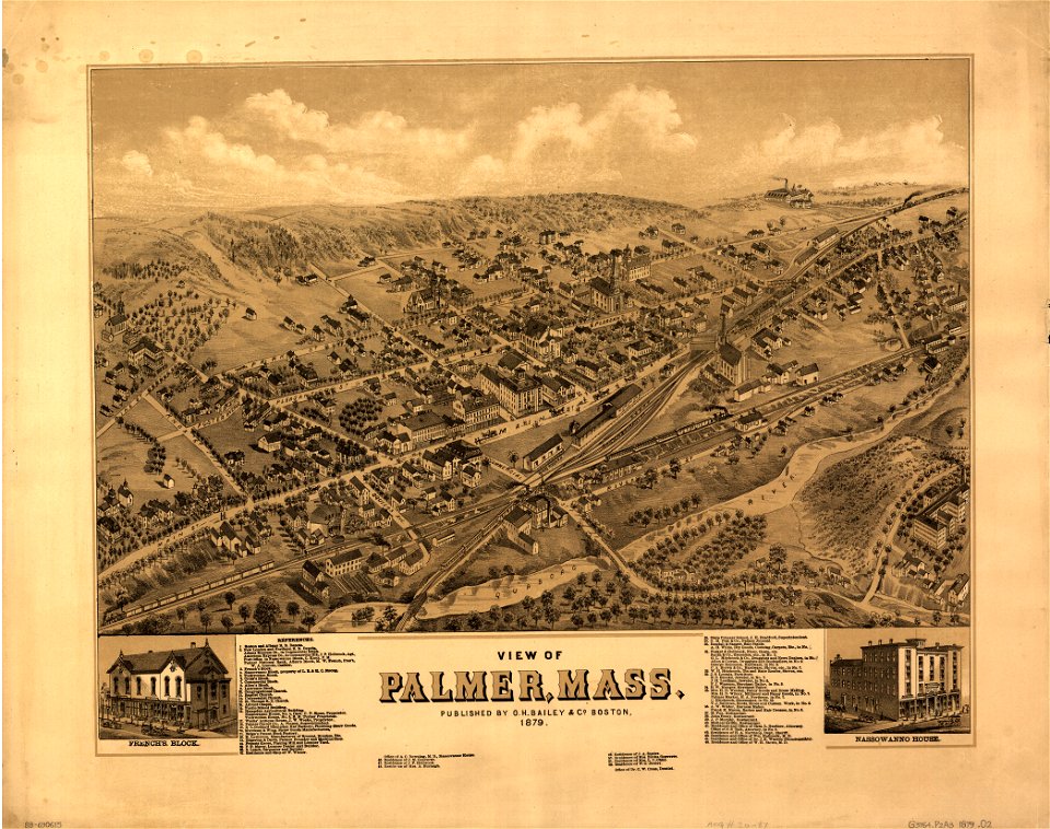
palmer
massachusetts
palmer
maps in the library of congress
washington
maps in the library of congress
washington
massachusetts
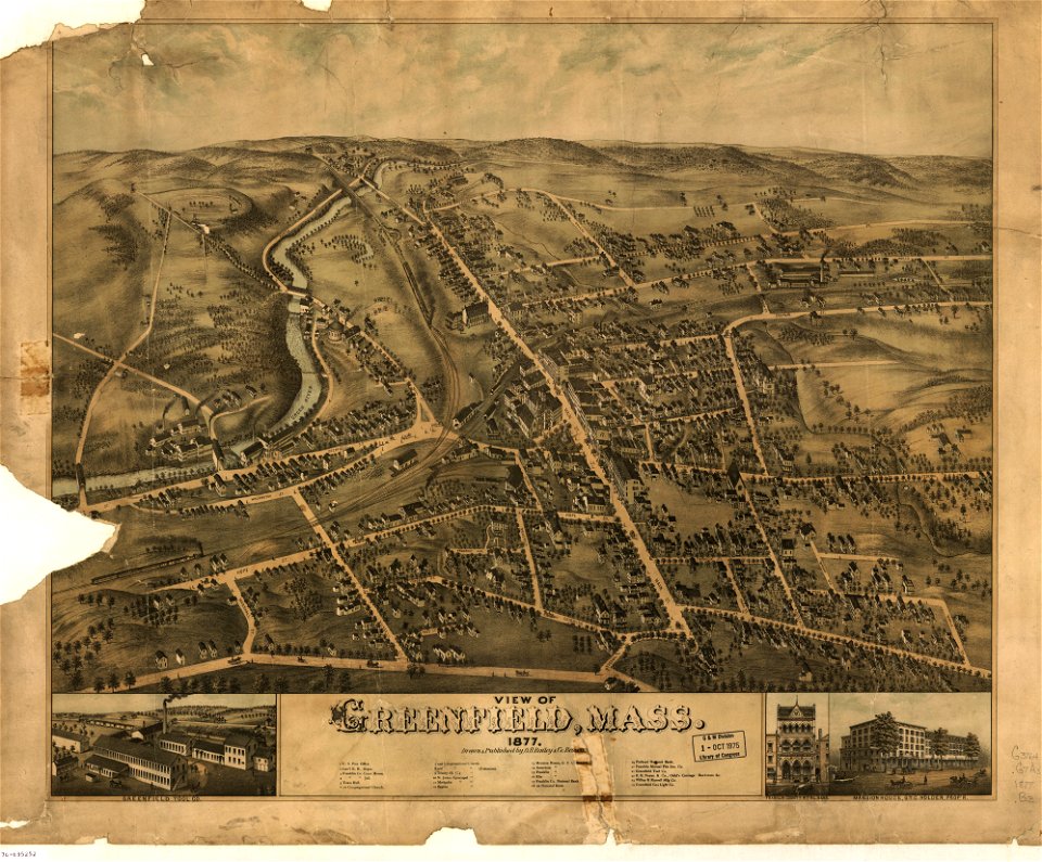
greenfield
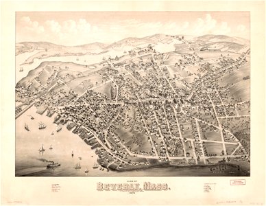
massachusetts
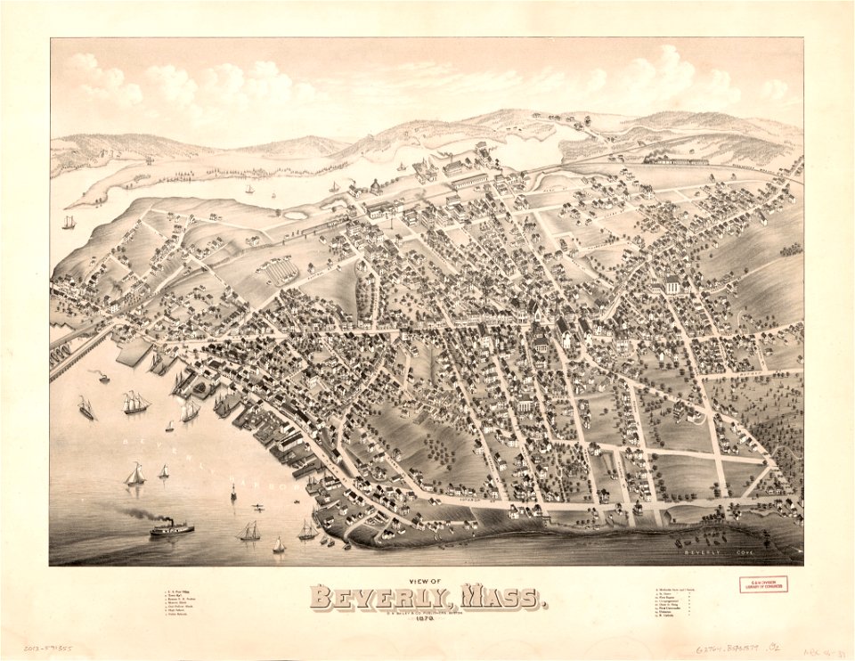
beverly
massachusetts
greenfield
massachusetts
beverly
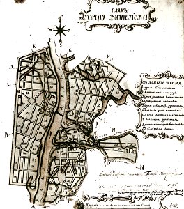
maps in russian state archives of ancient documents
historical images of viciebsk
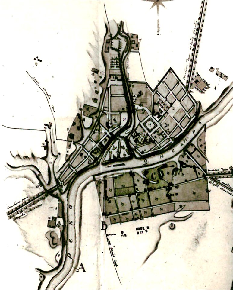
maps in russian state archives of ancient documents
historical images of orša
maps in russian state archives of ancient documents
historical images of viciebsk
maps in the library of congress
l. r. burleigh
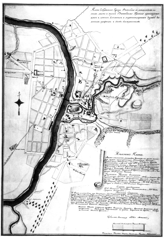
maps in russian state archives of ancient documents
historical images of viciebsk
western pomerania
maps of stralsund
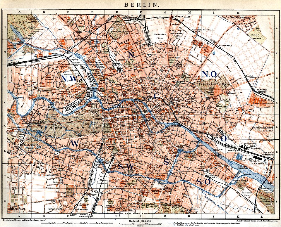
19th-century maps of berlin
maps by brockhaus
claes jansz. visscher (ii)
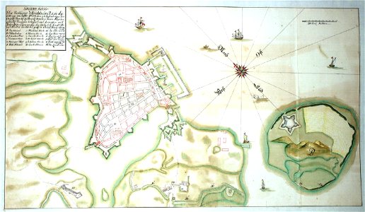
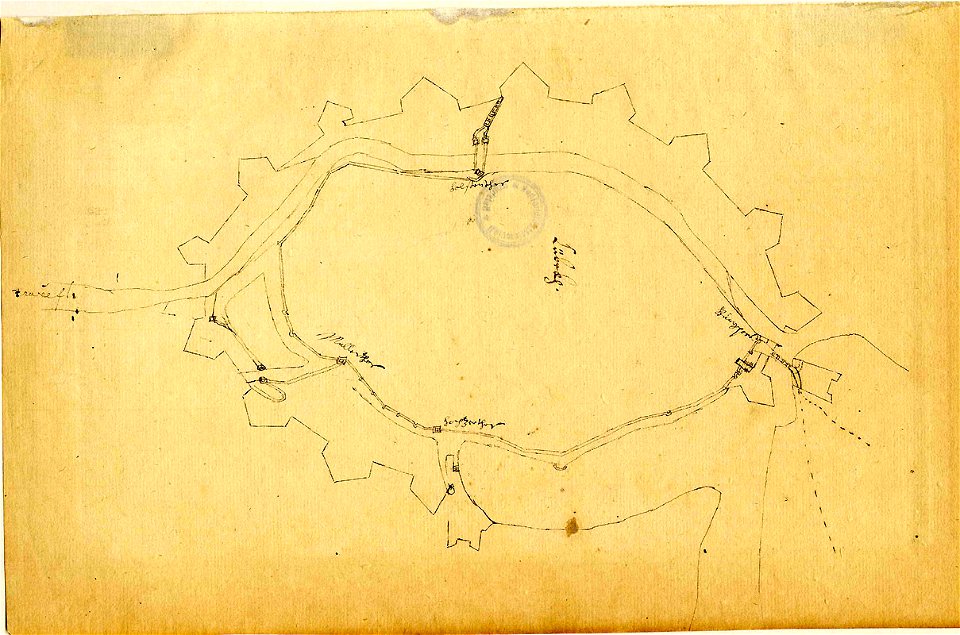
siege
islands of california
nicolas de fer
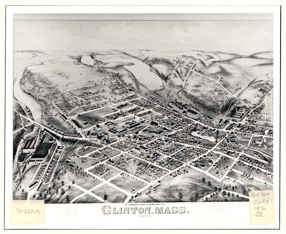
massachusetts
clinton
massachusetts
clinton
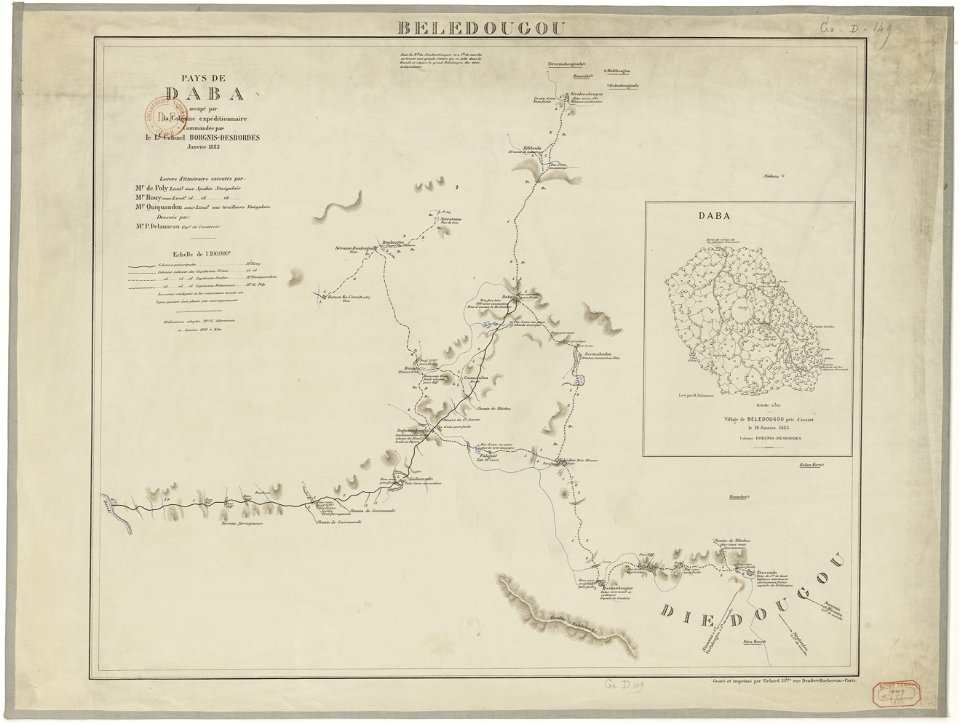
french colonization in africa
military maps
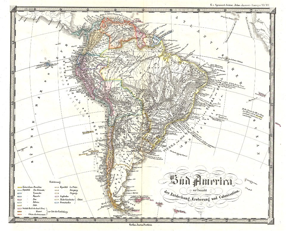
1850s maps of south america
karl spruner von merz
drawings in the universitätsbibliothek salzburg
maps made in the 17th century
lake george, new york
1768 maps
charts and maps of the royal museums greenwich
18th-century maps of the mediterranean sea
charts and maps of the royal museums greenwich
18th-century maps of the mediterranean sea
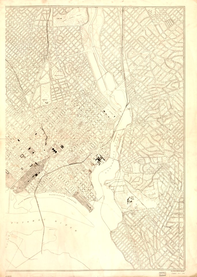
maps in the library of congress
d.c.,
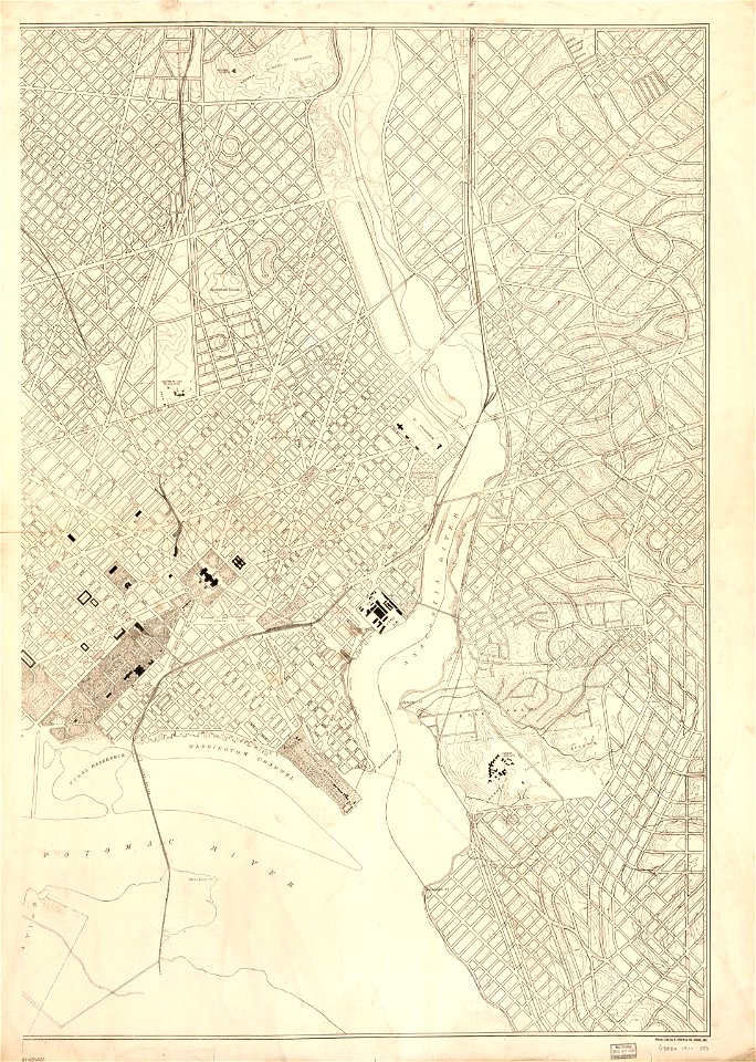
maps in the library of congress
d.c.,
8201 - 8300 of 52,119
Next page
/ 522